
Watermillock Common - Lake District Walk
Monday 10th June 2013
We set out to do a shorter walk than this but once we reached Swineside Knott we decided to amend the planned route and ended up enjoying a sunny walk back to Dockray.
Start: Old Quarry car park (NY 3971 2110)
Route: Old Quarry car park - Bracken How (367) - Round How (368) - Common Fell - Swineside Knott - Brown Hills - Dowthwaitehead - Dockray - Old Quarry car park
Distance: 6 miles Ascent: 405 metres Time Taken: 4 hours 25 mins
Terrain: Generally on clear tracks.
Weather: Overcast for most of the walk but turning warm and sunny towards the end.
Pub Visited: Royal Hotel, Dockray Ale Drunk: Jennings Cumberland
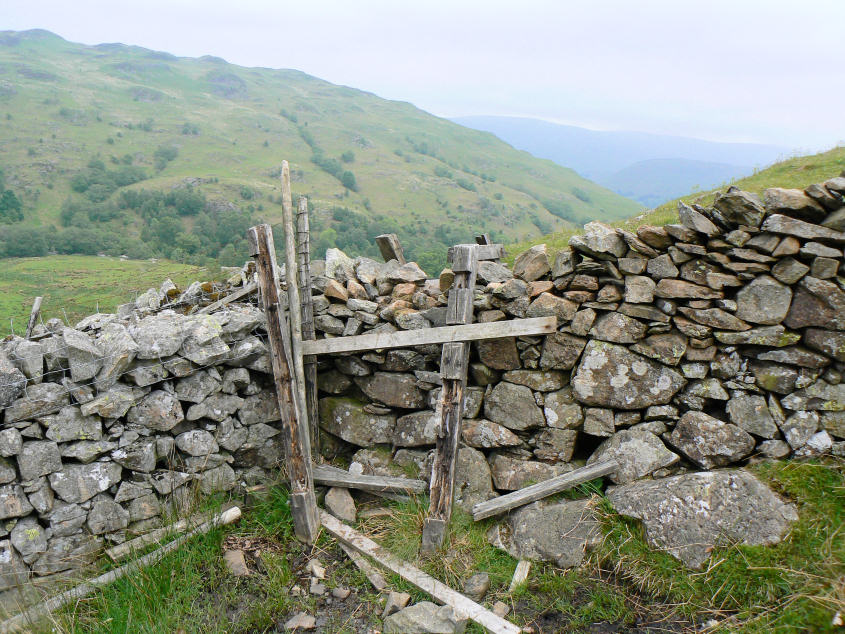
Not a great start to the walk. My little legs struggled to get over this broken stile.

From the wall a short walk brought us to the first summit of the day Bracken How. Another short walk would soon take us to Round How.

Gowbarrow Fell from the summit.

Looking back to Bracken How as we start the short climb to the summit of Round How.

Nothing marks the summit of Round How.

Ullswater was in view for much of the first half of the walk.

The original plan was to follow the wall to the summit of Common Fell but as this was also our planned return route we decided to head onto the summit via the gully in the right corner of the photo.

Round How from the 'gully'.

As we climb higher the first two summits of the day come into view.

As we approach the summit of Common Fell the balanced rock comes into view.

Looking back down Ullswater from the summit, no sign of the mirk clearing yet.

The final planned summit of the day was Swineside Knott.

The last time we were here we missed the cairn on the summit. We actually found two cairns, but this was the more shapely of the two and arguably closer to the summit's grid reference.

We sat eating our lunch looking across Ullswater and debating our route back.

Possible signs of the mirk starting to clear as we look across to Place Fell.

We decided to alter our route and headed across Brown Hills from where we had a fine view of Sheffield Pike.

Looking back across Brown Hills to a distant Common Fell.

We followed a good track down to Dowthwaitehead from where we would walk along the valley of Aira Beck to Dockray.

As we reach the valley floor and cross the bridge over Aira Beck the sky starts to turn blue. An hour or so later we were sat in the beer garden enjoying a pint in glorious sunshine
All pictures copyright © Peak Walker 2006-2023